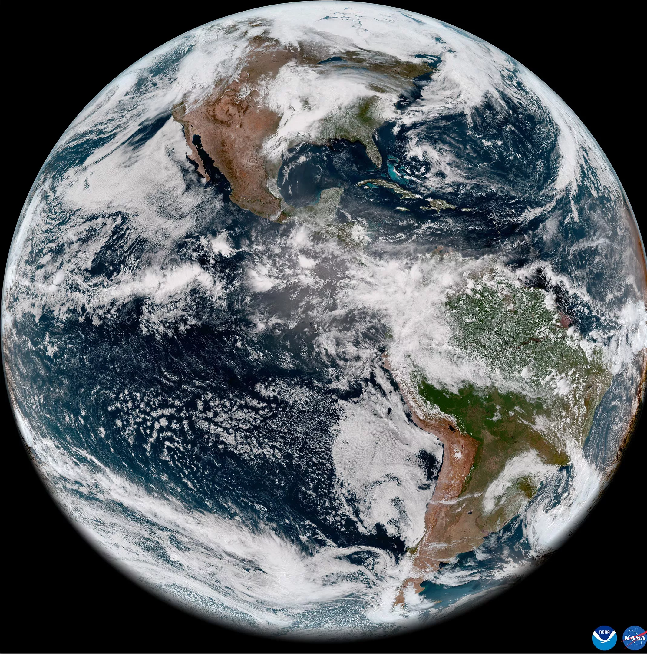
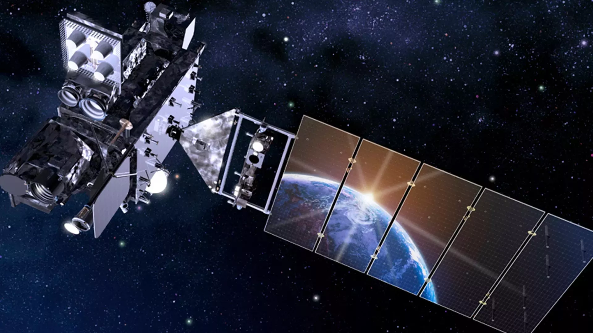
On May 11 local time, the National Oceanic and Atmospheric Administration (NOAA) shared the first images of the Western Hemisphere taken by its geostationary orbiting environmental satellite-t (goes-t) The advanced baseline imager (ABI) of the satellite, later named goes-18, recently captured an amazing view of the earth.

Goes-18 took off from space launch site 41 at Cape Canaveral Air Force Base in Florida at 4:38 p.m. EST on March 1. It is understood that ABI uses 16 different channels to observe the earth, and each channel measures energy of different wavelengths along the electromagnetic spectrum, so as to obtain information about the earth's atmosphere, land and ocean.

Since 1975, NOAA and NASA have cooperated to build a series of meteorological satellites, and goes-18 is one of them. Typically, NASA manages the design, construction and launch of satellites, while NOAA operates satellites after they enter orbit. The following video provides highlights of the launch and the spacecraft's first hour in space.
The main instrument of goes-18 is ABI, which provides the main images and data for us weather forecast. ABI scans the earth five times faster than previous generations of goes satellites, with four times the resolution and three times the number of channels. In addition, goes-18 also carries a geostationary lightning imager (GLM) and a set of instruments for monitoring space weather hazards.