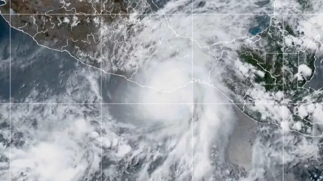
The hurricane season had a strong start in the eastern Pacific because hurricane Agatha made landfall on the southern coast of Mexico on Monday local time. The storm brought heavy rain and could cause flash floods and mudslides as its debris moved inland on Tuesday.

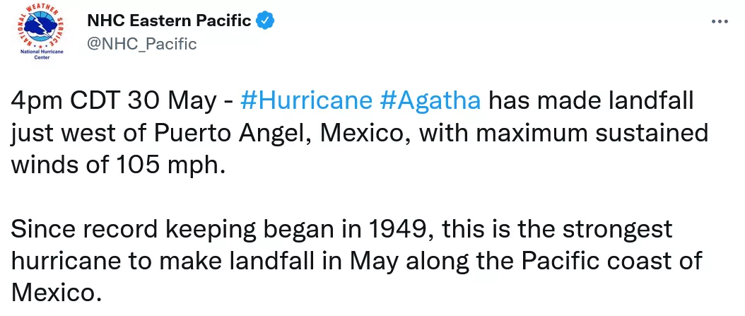
It is understood that Agatha generated a wind speed of 105 miles / h (169 km / h), which became a category 2 hurricane when it made landfall near port Angel town. "This is the strongest hurricane that landed on the Pacific coast of Mexico in May since records began to be maintained in 1949," the National Hurricane Center (NHC) wrote on twitter, while also releasing satellite images of the whirlpool storm.


NHC also warned that a category 2 storm would cause extensive damage to houses and trees and could trigger large-scale power outages. Agatha was downgraded to a tropical storm after reaching land.
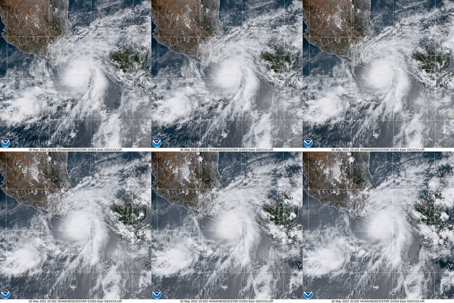
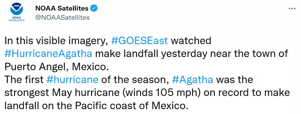
The National Oceanic and Atmospheric Administration (NOAA) shared another observation of Agatha by its goes East meteorological satellite. This close-up highlights the wild cloud patterns in the hurricane.

NOAA predicts that the hurricane season in the eastern Pacific in 2022 will be below normal. Four to eight hurricanes are forecast. The season lasts from May 15 to November 30.
Although the Pacific may be quieter than usual this year, NOAA predicts that the hurricane season in the Atlantic will be more active than normal. This trend has now entered its seventh year.
Satellites are keeping a close eye on the development of storms around the world, as there is growing concern about the link between climate change and more extreme hurricanes. This makes the spatial perspective even more critical in tracking hurricanes and warning communities on the path of destructive storms.